Day 3 - Bus Rides, a Fake Fjord and Venetian Lions
- SElliott

- Feb 20
- 8 min read
Today we had to wake up early for breakfast (again) as the coach to Kotor was leaving at 8:00am. It’s a long journey – 3hrs there and 3hrs back. Mum is grumbling about big bully ships – I’d better keep an eye on her when we get to Kotor!

The coach trip to Kotor was long, but we had Ivana with us to keep us entertained!
On the way we took the coastal road which had some lovely views, and some not-so-lovely drops on the sea side! We passed Cavtat with the three last islands in Croatia – St. Peter, St Barbara and St. Martin. This is where the first ever quarantine happened except that it wasn’t a quarantine but a trentina. This is because it only lasted 30 days (“trente”). The word “quarantine” comes from the Italian “quarant” meaning 40 and the quarantine lasted 40days. Although there are “thousands” of islands just off the coast of Croatian, only 66 of them are inhabited.
After we had passed Cavtat the road took us slightly more inland through the southern part of Croatia. This area is called Konavle – it is named after an Italian word “canalis” meaning “the channels” which refers to the irrigation channels that cross the area from the mountain springs. The area was originally a part of the Bosnian kingdom in the Middle Ages. However the Bosnian King saw the growing Ottoman Empire and, knowing that he couldn’t defend all his land, decided to get ahead of the game and put this area of land up for sale. Dubrovnik jumped at the chance of having land with fertile soil and purchased the land in 1345.
As we turned inland we waved to Bosnia Hertzogovenia as we passed through the thinnest part of Croatia – only 5km wide!
We passed through the border with no problems and then stopped at a service station at the other side for coffee and toilets – the toilets were an “experience” according to Mum.
Montenegro was a former member of Yugoslavia, a country that consisted of Montenegro, Serbia, Bosnia and Herzegovina, Croatia, Slovenia, and Macedonia. In the early 1990s four of the constituent republics declared independence. However Montenegro and Serbia remained together as the State Union of Serbia and Montenegro. Montenegro became independent in 2006 following an independence referendum.
The first major town that we reached in Montenegro was Herceg Novi. This was originally founded by King Tvrtko I of Bosnia when he constructed a new fortress on the Bay of Kotor which he hoped would form the basis of a new salt trading centre. He initially named it Sveti Stefan, after Saint Stephen, but it quickly became known as Novi, meaning new.
In the 15th century the town of Novi and the surrounding area came under the rule of Stjepan Vukčić Kosača and became known as Herzegovina after his title, Herceg. During this era the name of the town became what it is today, Herceg Novi.
On the way through Herceg Novi we stopped to pick up our guide for Kotor. We picked her up near part of the medieval fortifications, a tower named Kanli Kula or “Blood Tower”. The name dates back to when the tower was a prison and executions were held here. These were mandatory for all citizens to attend so huge crowds would gather. Audiences still gather here, but to watch cultural events and festivals – hopefully with less death involved!
Kotor Bay, also known as Boka, is often called the “Southernmost Fjord“ but in reality is a river canyon which has been submerged in the Adriatic Sea. The bay runs nearly 30km inland and is made up of four bays:
· Bay of Herceg Novi, the bay by the exit to the sea.
· Bay of Tivat, the outermost bay.
· Bay of Risan, the inner bay to the north-west.
· Bay of Kotor, the inner bay to the south-east.
The outermost and innermost bays are connected by the Verige Strait, located between Cape St. Nedjelja and Cape Opatovo. We stopped at a viewpoint on the mouth of this strait where it enters the inner bays of Risan and Kotor.
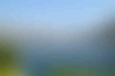


Views Over the Bay of Kotor
We continued around the Bay of Risan, passing the islets of St George and Our Lady of the Rocks which are near the small town of Perast.
Our Lady of the Rocks is an artificial islet. According to legend, sailors on the bay found an icon of the Madonna and Child on a rock in the bay. They made an oath to lay a rock in the bay when they returned from successful voyages. They kept their oaths and an islet gradually emerged from the sea. This continues to this day when, every year, an event called Fašinada is held, where local residents take their boats and throw rocks into the sea, widening the surface of the island.

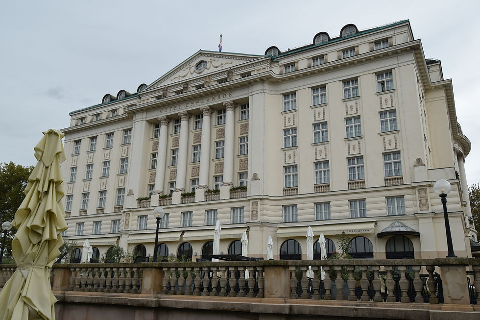
Eventually we arrived in Kotor, a lovely walled medieval town, absolutely dwarfed by an obscenely huge ship! The tour director reckoned that it had at least 5,000 berths.
Kotor, often referred to as the unpolished beauty of the Bay of Kotor, is a small medieval town butted up against a steep cliff. Although Kotor has been ruled by many different dynasties, the one that has left the biggest mark is when it was a province of the Venetian Republic from 1420 to 1797. These four centuries have given the city the typical Venetian architecture, including the Old Town’s medieval fortifications, that contributes to make Kotor an UNESCO World Heritage site. The medieval walls surround the old port town and zig-zag up the mountain behind the town, intimidating any would-be invaders!


The Walls of Kotor
The walled town of Kotor is of a triangular shape with gates at each of the corners, the North, South and West gates. We started our visit at the West Gate, which is the main entrance to the old town and more commonly called the Sea Gate. This is because, when the walls were first built, the sea reached up close to the gate.
The winged lion of Saint Mark, the symbol of Venice, is displayed on the wall here, standing proud over an open book. This shows that the Venetians came here in peace, to negotiate. A closed book is indicative that the Venetians arrived to conquer.
Also above the Sea Gate is a communist star, a nod to the town’s communist past as part of Yugoslavia, and a post WWII inscription. This is a quote attributed to former Yugoslav leader Tito and reads “what belongs to others we don’t want, what is ours we will never surrender”.

Due to the easy access to the sea, the town of Kotor had good trade connections which resulted in many rich merchants. And rich merchants like to show off their wealth, so they built fancy town houses or “palaces” around many squares which are linked by a labyrinth of narrow meandering streets. Although the Old Town suffered severe damage in the 1979 earthquake it has been painstakingly restored to its former glory.
As we passed through the Main Gate we emerged onto the very busy Trg od Oruzja (Arms Square) named as this was the place where weapons were made and stored during the Venetian era. Opposite the Main Gate is the Clock Tower, a common meeting point for the people of Kotor, and the Pillar of Shame. During the Venetian era, Venetian soldiers would tie wrong-doers to the pillar with a proclamation of their wrong-doing. That way everyone knew what they had done and they were publicly shamed. Unfortunately, that method of punishment is no longer in use.
Arms Square is the biggest of the town’s seven squares. Each square has a different name that relates to what it was historically used for. There is a Milk Square, Museum Square, Flour Square and there’s even a Square of Cats.
From Arms Square we followed our guide along the narrow streets, made all the narrower due to the vast amounts of tourists from that ‘orrible ship, to Flour Square. This is the square where the flour was stored and where the bakeries were located and overlooked by Pima Palace, built for the wealthy Pima family. This was once hailed as Kotor’s most exquisite palace of the 17th century but damage from earthquakes has broken its façade and reduced its splendour.

We continued moving through the streets to the St. Tryphon Square and Cathedral. The Cathedral was consecrated in 1166 and was built upon the ruins of an ancient 9th century temple dedicated to the town’s patron saint.

Our next stop was Museum Square with its Maritime Museum, housed in an early 18th century Baroque style palace, before passing through to Piazza Greca Square and the Church of St. Luke. This is one of Kotor’s five remaining sacred structures built in the Romanesque style and is further set apart by its history of housing both Catholic and Orthodox altars. This happened when the Venetian authorities allowed a group of refugees from Grbalj to use the then-Catholic Church of St Luke for Orthodox services. This led to the installation of two altars. These remained in use until the French occupation in 1807.
From the Church of St Luke we walked back to Arms Square, passing the Square of Our Lady of the Angels and the Cat’s museum. Kotor is a town of cats. This goes back to the Middle Ages when there was a plague epidemic and ships’ cats were let out into the town to catch mice.

We continued meandering through the streets until we returned to Arms Square before we were released for a little free time before returning to Dubrovnik.
Our first stop was one of the cafés in Arms Square to try the famous Moscow Cake, and have lunch. I had a lovely turkey sandwich followed by the cream, sponge and soaked cherry confection that is called the Moscow Cake – YUMMY!
After we had finished lunch we decided to retrace our steps slightly to go to the North Gate. On the way we visited the Church of St. Nicholas. This Orthodox Church was built in 1902, replacing a 17th century church that had been burnt down in 1896 on Christmas Eve. It’s very different inside to what we’re used to. There are no seats and the altar is very ornate, as ornate as the baroque churches we saw in our Danube/Rhone river cruise.

We arrived in Firewood Square opposite the Church of St. Mary, a 13th century building with bronze doors adorned with bas-reliefs. The North Gate served as the only land link to the North of Kotor, leading to a stone bridge that crosses the River Škurda. The North Gate is not as fancy as the Main Gate but does have the Venetian Lion carved in the stonework above the gate and two Latin inscriptions commemorating the repulsion of the Ottoman fleet in 1539.
From the North Gate we walked along Craftsman Street. This street dates back to the Roman times and is possibly the oldest thoroughfare in Kotor. It stretches between the North and South Gates and, in the Middle Ages, would have been lined with workshops of skilled artisans. The workshops have mostly gone now but there are many small boutique shops and studios along this street – interspersed by the many tourist souvenir shops!
From the South Gate we returned to Arms Square, with just enough time to visit the walls and have a quick ice cream on the way back to the coach.
All-in-all Kotor was okay but the hot weather and the plethora of tourists, as well as the long trip there and back, did diminish the experience a lot.


Comments